
Tracks near you
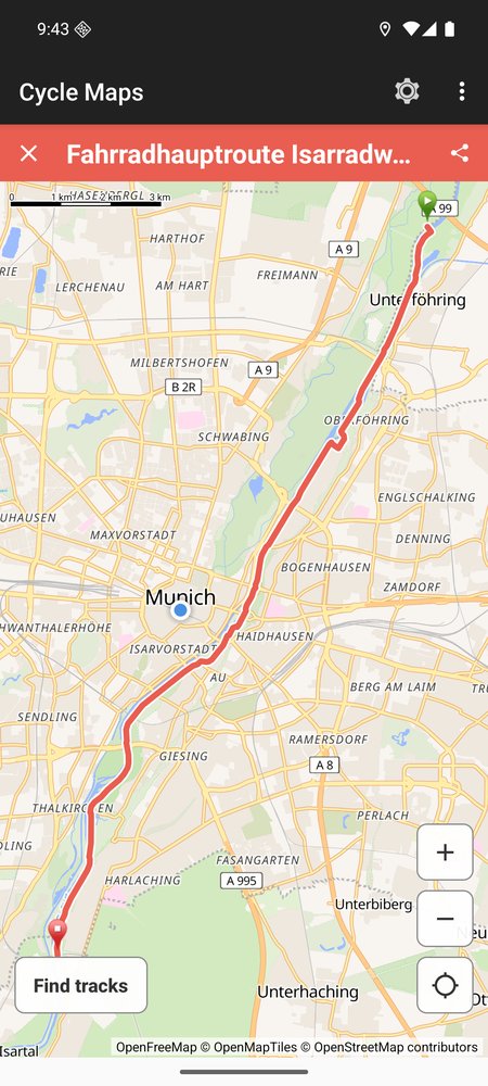
Move the map to where you want to ride and tap Find tracks. You get the tracks around that spot, as far out as the search radius you set.
Length and shape
Each track is listed with its length, in metric or imperial units, and a small sketch of its shape. Pick one to see it drawn on the map.
Favourites and sharing
Star a track to keep it in your favourites, on your phone. Share a track as a link; it opens the track's page on Waymarked Trails.
The tracks are cycling and mountain-bike tracks mapped in OpenStreetMap, found through Waymarked Trails. A search lists at most 24, so where there are more, some are left out. Tracks longer than 150 km are not listed. The map marks cycleways in blue.
Cycle Maps shows you tracks. It does not plan a route for you, give directions or record your rides.
Good to know
- Free, with ads.
- No account needed.
- Requires Android 7.0 and up.