 Cycle Maps
Cycling routes and mountain-bike trails in Innsbruck
Cycle Maps lists cycling routes and mountain-bike trails as tracks. 3 rides Innsbruck is known for, then 13 other tracks within 16 km of the centre of Innsbruck, Austria, longest first.
- 16 tracks
- 101.4 km (63.0 mi) the longest
- 199.5 km (124.0 mi) in all

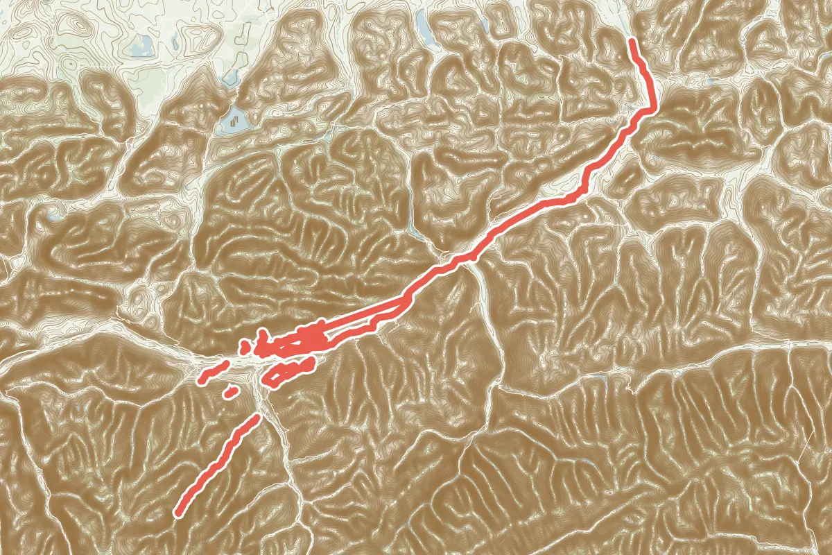
First come rides Innsbruck is known for: Innradweg Tiroler Unterland, 101.4 km (63.0 mi) from Innsbruck to Erl; Vital Radweg, a loop of 23.3 km (14.5 mi); and Radroute 19 "Stubai Radweg", 23.5 km (14.6 mi). Of the 13 other tracks around the centre, 8 are for cycling and 5 for mountain bikes. The longest ride or track here is Innradweg Tiroler Unterland, 101.4 km (63.0 mi). The nearest to the centre is Zentrum - Baggersee, 938 m (3,077 ft) from it. Most of them lie east of the centre. Of those of 5 km or more, the hilliest is Radroute 19 "Stubai Radweg", with about 510 m of climb over 23.5 km (14.6 mi), and the flattest H1 Rum - Hall, with almost none. 2 long-distance routes pass through as well: Munich-Venice and Innradweg.
How long
- 10 under 5 km (3 mi)
- 3 of 5 to 20 km (3 to 12 mi)
- 3 over 20 km (12 mi)
How hilly
- Flat 2
- Rolling 1
- Hilly 3
By each one’s climb per kilometre: flat under 5 m (26 ft a mile), hilly from 15 m (79 ft a mile). Most climbs are estimated.
Popular rides in Innsbruck
Chosen by Cycle Maps among the tracks mapped in OpenStreetMap: rides Innsbruck is known for.
- Innradweg Tiroler Unterland Cycling track Flat 101.4 km (63.0 mi) Innsbruck to Erl · About 270 m (890 ft) of climb · 119 m (390 ft) from the centre
- Vital Radweg Cycling track Hilly 23.3 km (14.5 mi) Loop · About 470 m (1,540 ft) of climb · 3.7 km (2.3 mi) from the centre
- Radroute 19 "Stubai Radweg" Cycling track Hilly 23.5 km (14.6 mi) About 510 m (1,670 ft) of climb · 9.8 km (6.1 mi) from the centre
On the map
Each line is a track; tap one for its name.
Other tracks around Innsbruck
- H1 Rum - Hall Cycling track Flat 6.7 km (4.2 mi) Almost flat · 4.2 km (2.6 mi) from the centre
- H4 Arzl - Mils Cycling track Rolling 6.3 km (3.9 mi) About 90 m (300 ft) of climb · 3.7 km (2.3 mi) from the centre
- Nasses Tal Mountain-bike track Hilly 5.9 km (3.7 mi) 291 m (955 ft) of climb · 4.9 km (3.0 mi) from the centre
- V3 Hall - Eichat Cycling track 5.0 km (3.1 mi) About 160 m (520 ft) of climb · 7.0 km (4.3 mi) from the centre
- Zentrum - Baggersee Cycling track 4.0 km (2.5 mi) About 10 m (30 ft) of climb · 938 m (3,077 ft) from the centre
- H5 Thaur - Walderkapelle Cycling track 3.8 km (2.4 mi) About 130 m (430 ft) of climb · 7.6 km (4.7 mi) from the centre
- Arzler Alm Trail Mountain-bike track 3.8 km (2.4 mi) About 440 m (1,440 ft) of climb · 1.7 km (1.0 mi) from the centre
- H3 Thaur - Mils Cycling track 3.8 km (2.4 mi) About 30 m (100 ft) of climb · 7.4 km (4.6 mi) from the centre
- V4 Hall - Eichat Cycling track 3.0 km (1.9 mi) About 180 m (590 ft) of climb · 8.9 km (5.6 mi) from the centre
- Hofwaldtrail Mountain-bike track 2.6 km (1.6 mi) 24 m (79 ft) of climb · 1.6 km (1.0 mi) from the centre
- H2 Hall - Hall Cycling track 2.6 km (1.6 mi) About 40 m (130 ft) of climb · 7.5 km (4.7 mi) from the centre
- The First One Mountain-bike track 2.0 km (1.2 mi) About 240 m (790 ft) of climb · 6.6 km (4.1 mi) from the centre
- Stadtwaldtrail Mountain-bike track 1.8 km (1.1 mi) 15 m (49 ft) of climb · 1.6 km (1.0 mi) from the centre
Long-distance routes through Innsbruck
Lengths and climbs are for the whole route. A route made of other routes that states no length has none here: measured, it would count its variants too.
- Munich-Venice (MV) International, cycling · no length stated · its page in German About 163 m (535 ft) from the centre OpenStreetMap: “The easiest way to cross the Alps on two wheels”
- Innradweg International, cycling · no length stated · on OpenStreetMap About 154 m (505 ft) from the centre
About this list
OpenStreetMap has 145 tracks in or near the square searched around Innsbruck; this page shows 3 popular rides, 13 tracks and 2 long-distance routes. 9 tracks shorter than 1 km are left out. The centre is taken as 47.2683° N, 11.3933° E, and the list was made on 1 November 2026. How the city lists are made.
Cities near Innsbruck
- Munich Germany · 98 km (61 mi) away
- Salzburg Austria · 137 km (85 mi) away
- Regensburg Germany · 202 km (125 mi) away
- Graz Austria · 307 km (191 mi) away
- Vienna Austria · 387 km (240 mi) away
Find tracks anywhere with the app
Cycle Maps is an Android app that finds cycling and mountain-bike tracks near any spot on the map.